Formation Environmental, LLC | About Us
81
page-template,page-template-full_width,page-template-full_width-php,page,page-id-81,ajax_fade,page_not_loaded,,qode-title-hidden,qode_grid_1200,qode-content-sidebar-responsive,qode-theme-ver-16.6,qode-theme-bridge,disabled_footer_top,wpb-js-composer js-comp-ver-7.4,vc_responsive

ABOUT FORMATION ENVIRONMENTAL

Scientific solutions to complex environmental, water and energy issues

Formation Environmental LLC is a rapidly growing consulting firm with offices in Boulder, CO, Sacramento, CA, Calipatria, CA and project offices throughout the U.S.  Our multi-disciplinary team provides scientific, technical and strategic expertise in environmental engineering, soil science, water resources, vegetation management and remote sensing.

The Formation team has significant depth and expertise working with clients throughout North and South America.

We specialize in solving environmental science and engineering challenges using appropriate multi-disciplinary teams that apply expertise and state-of-the-art techniques to efficiently attain each client’s unique technical, regulatory, and financial objectives.

Our clients work in natural resource, agricultural, energy, industrial, transportation, and mining sectors.

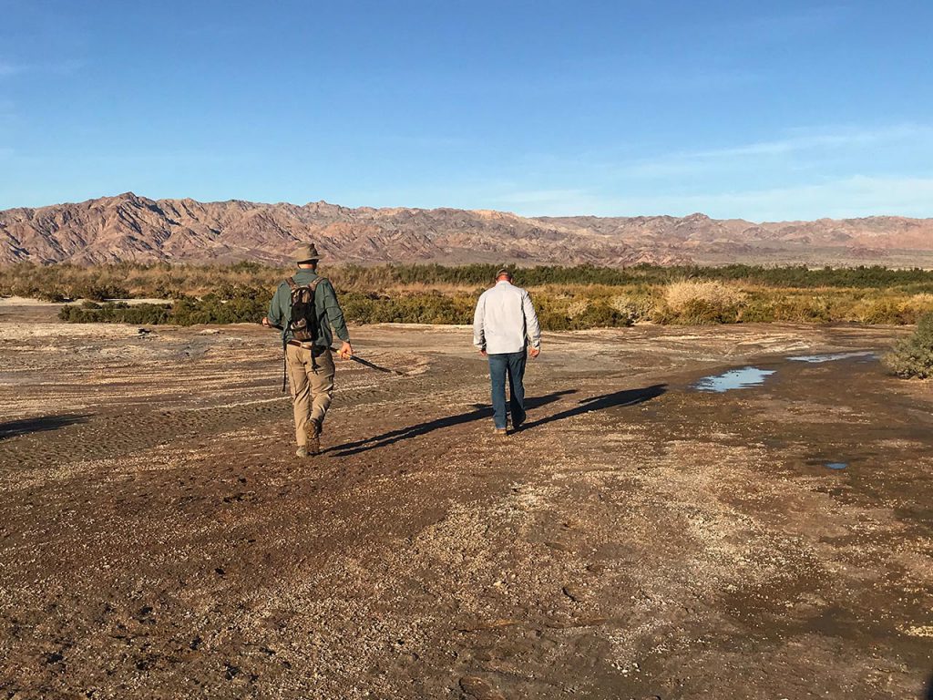
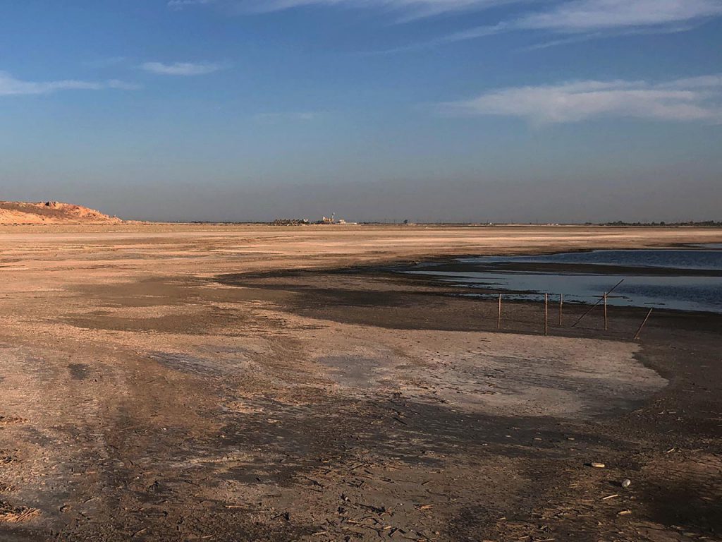
Salton Sea, CA
Salton Sea, CA
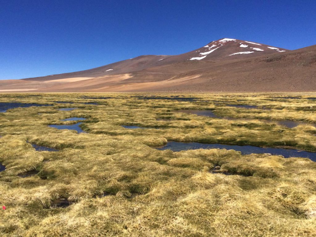
Water modeling in Chile
Water Modeling in Chile
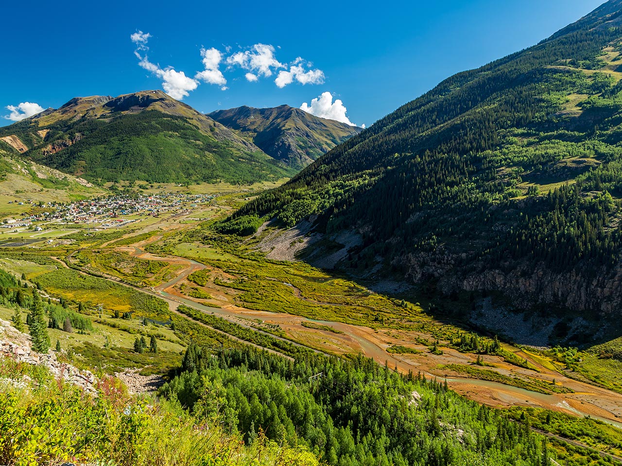
Animas River, CO
Animas River, CO

Solutions

At Formation, many of our clients have complex and unique challenges that require a customized solution to meet the needs of regulatory requirements, compliance driven schedules, programmatic improvements, risk management, stakeholder engagement, or advanced geospatial insights. Our team excels at working with each client to characterize problems and to create solutions through applied science and cutting-edge technology.  To achieve this many of our team members collaborate effectively across multiple practice areas to assemble the best combination of experts.  This may result in remote sensing professionals and data scientists working together with agronomists and soil scientists to model and analyze crop vigor for a precision agriculture client.
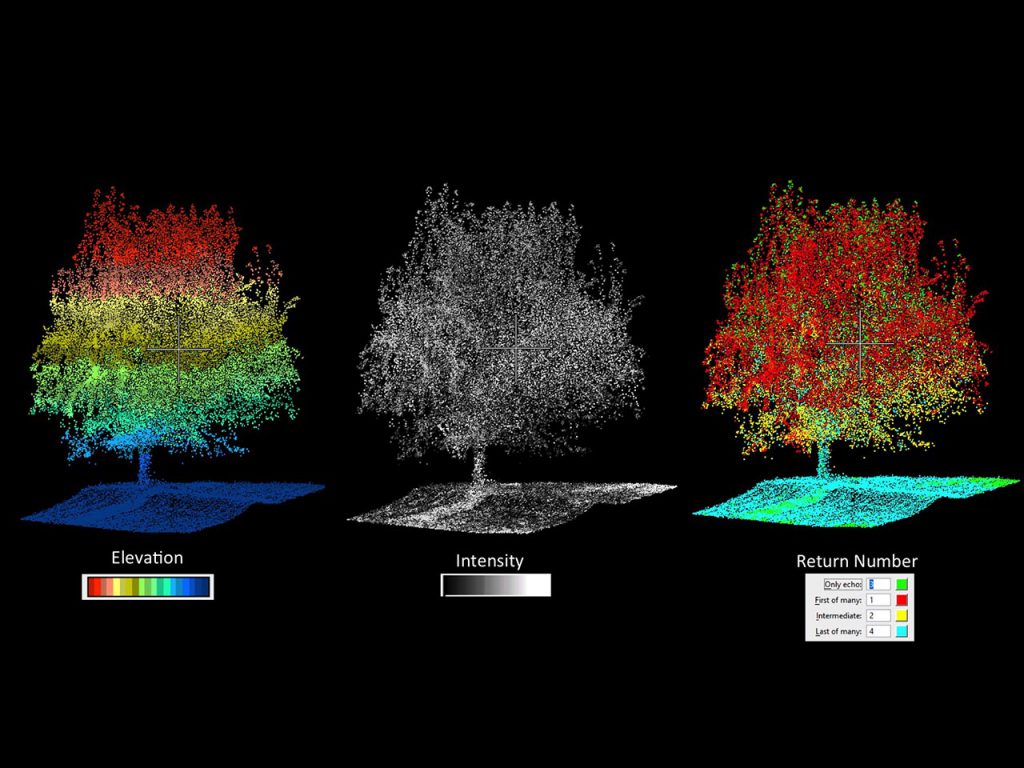
LiDAR Analysis Stem Count of Almond Tree Orchard

Technical & Strategic Support

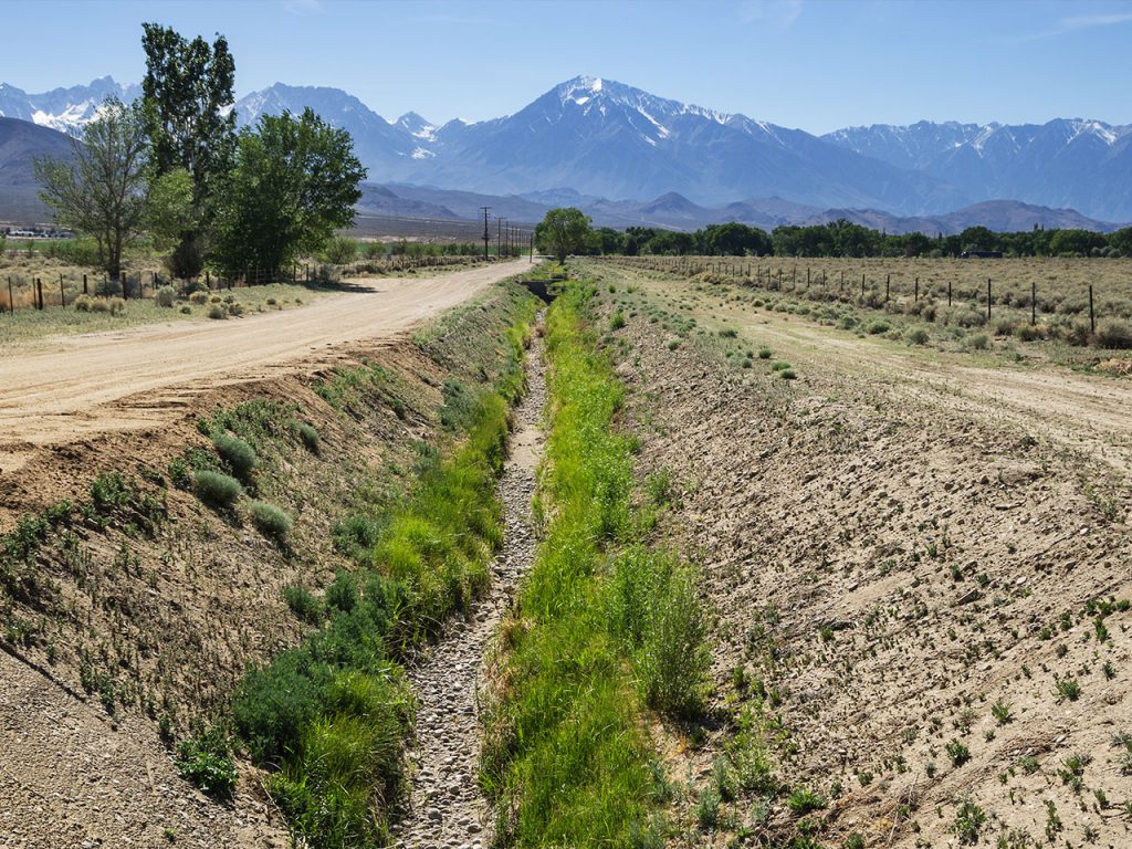
Formation scientists and engineers are working with clients on some of the most challenging environmental issues facing our world today.  Our water scientists are helping clients navigate critical water issues, ranging from groundwater dependent vegetation analysis during the California drought to mapping and modeling soil to inform best management practices for air quality mitigation at the Salton Sea.  The Formation Environmental team provides key technical and strategic support to assist in negotiation, settlement and litigation processes for clients who work in mining, industrial or other contamination sites.  While we are hired for our collective scientific expertise, our team also supports clients through stakeholder engagement, development of project communication materials and technical writing for regulatory reports.
Drought near Eastern Sierras, CA

Technology

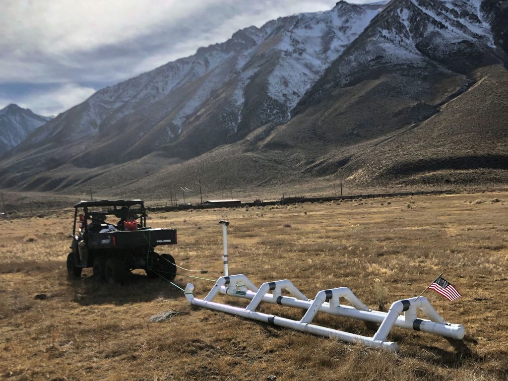
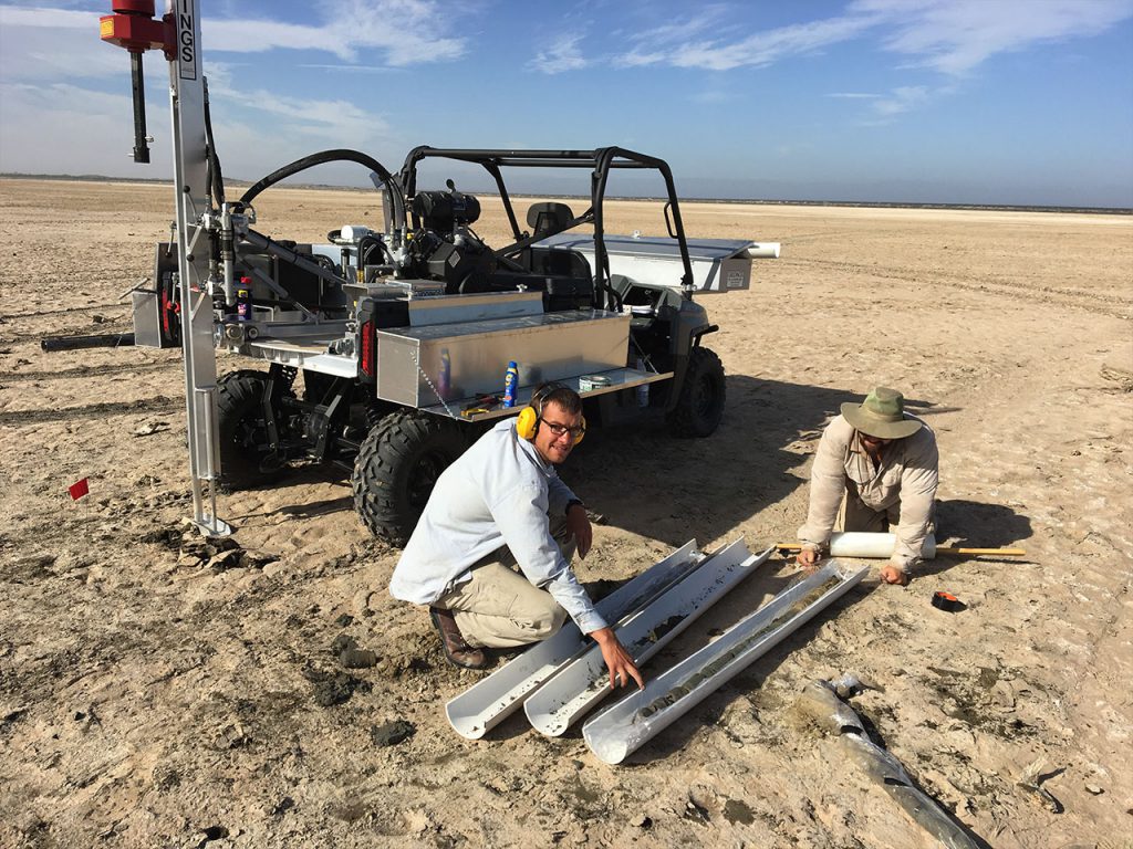
Formation’s technology team is a vital complement to each of the other practice areas, supporting science and engineering projects with high accuracy remotely sensed data for modeling and the creation of greater geospatial intelligence.  We own and operate several unmanned aerial systems (UAS) and a variety of sensors.  Our team is well-versed in working with ultra-high density LiDAR data, thermal infrared, HD video, hyperspectral and satellite imagery.  We also collect data using a variety of ground-based equipment such as Eddy-covariance for meteorological data, spectrometers for phenological metrics, electromagnetic induction and soil coring for high throughput soil mapping.
Electromagnetic Soil Data Collection

Modeling & Analytics

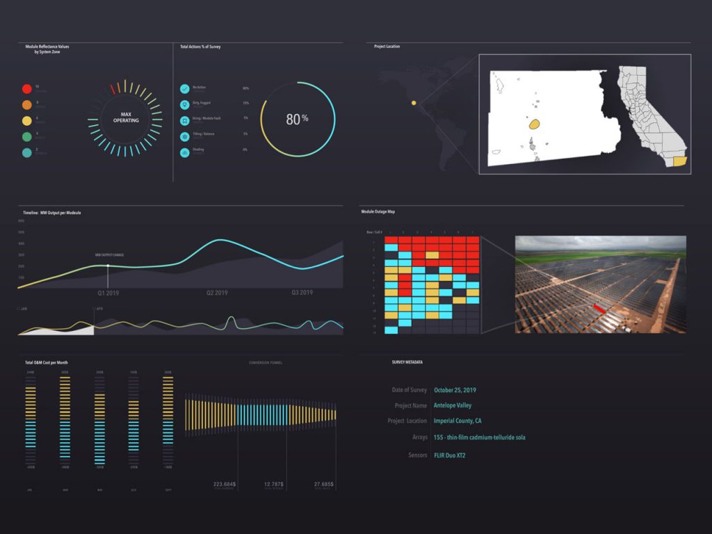
The team of Formation scientists, programmers, statisticians, and data scientists model and analyze data from a variety of sources to provide greater geospatial intelligence.  Our team has extensive experience on using several numerical models including Soil and Water Assessment Tool (SWAT), Agricultural Policy/Environmental eXtender (APEX), Root Zone Water Quality Model (RZWQM2), HYDRUS 1/2/3D, MODFLOWd, Noah-MP, Weather Research & Forecasting (WRF), etc.  Depending on the project, our clients may ask us to create visualization tools, GIS databases or client portals to interact with and consume the analysis.  Often our work support clients in long-term decision management and strategies.
Analytics Dashboard Visualization
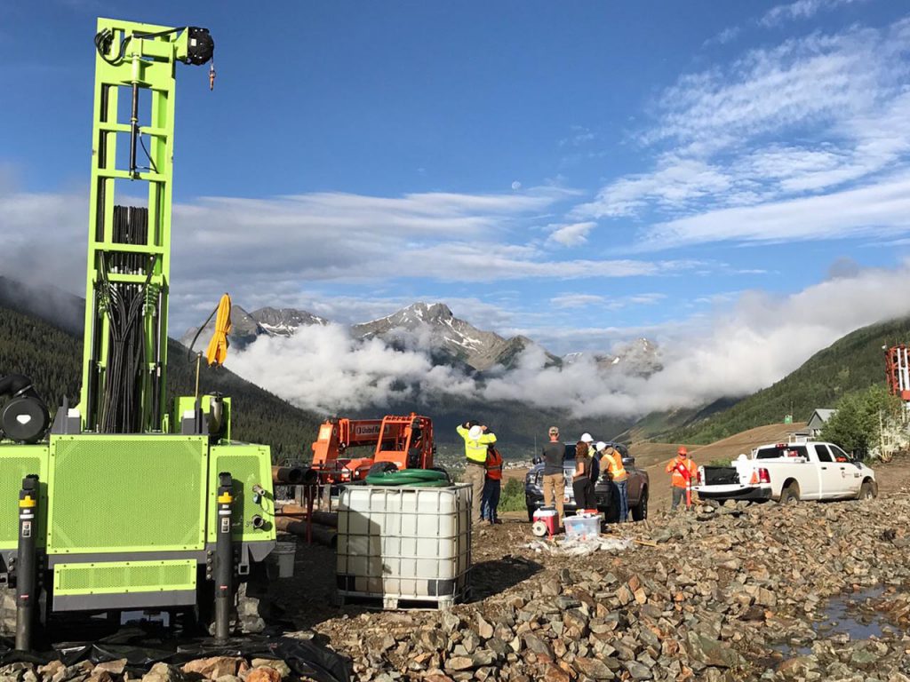
Drilling in SW Colorado
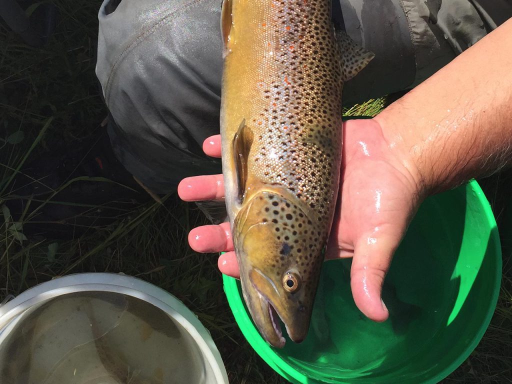
Aquatic Biota Sampling, ID
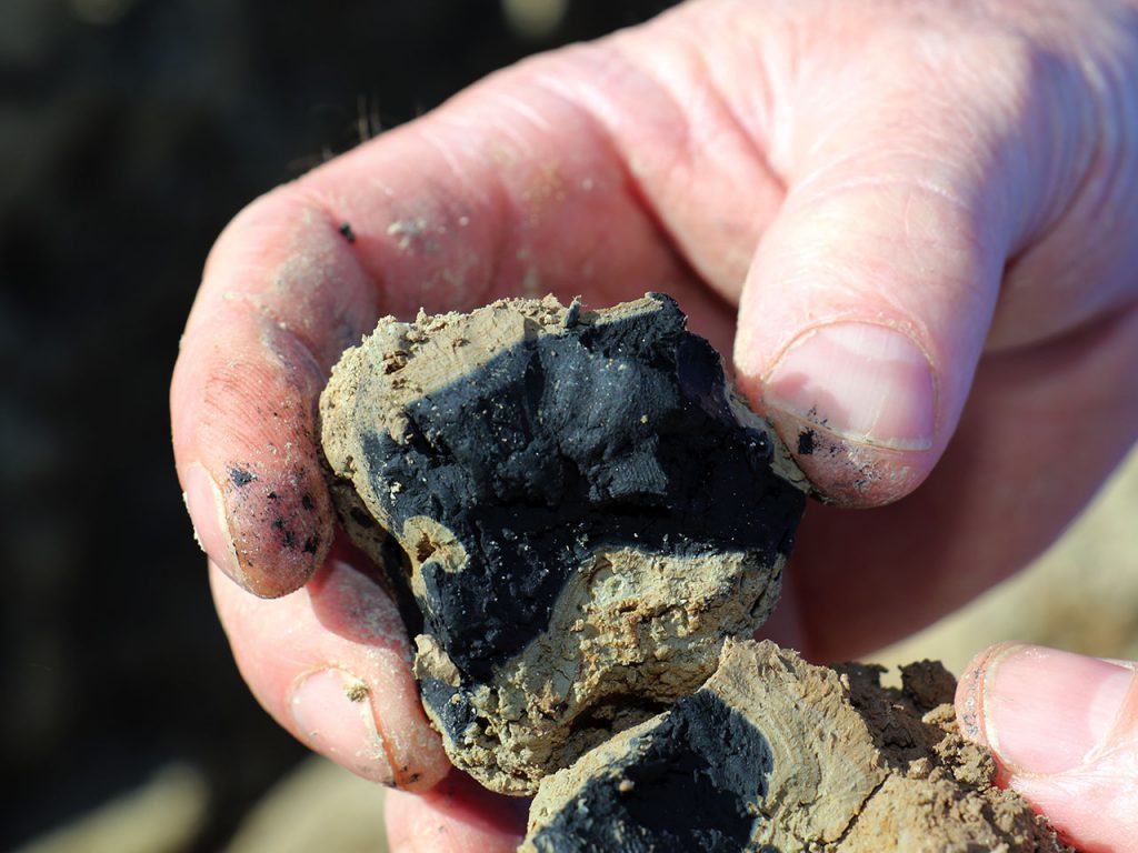
Soil Up Close
Scientist with Soil Sample
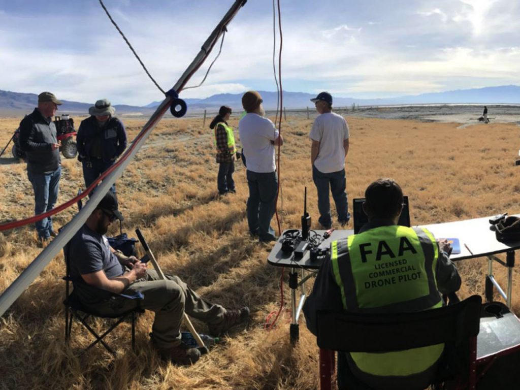
UAV field work
UAV field work
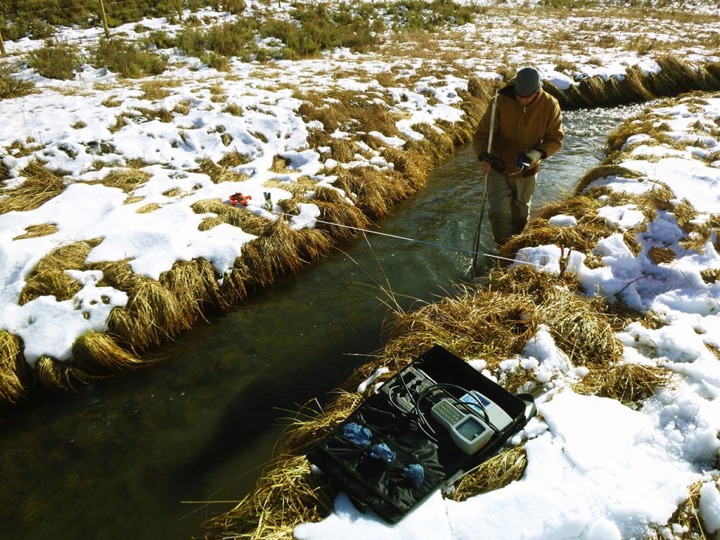
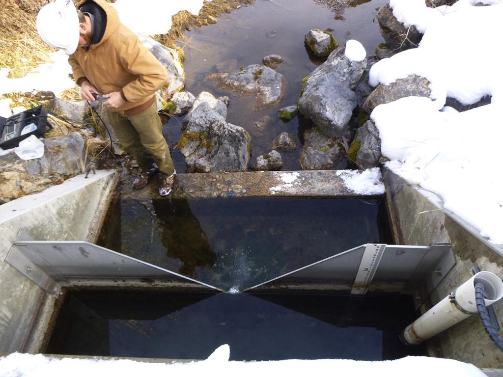
Stream Flow Gauging, ID
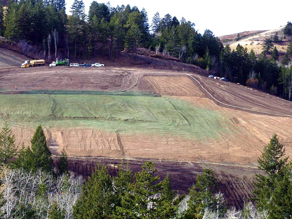
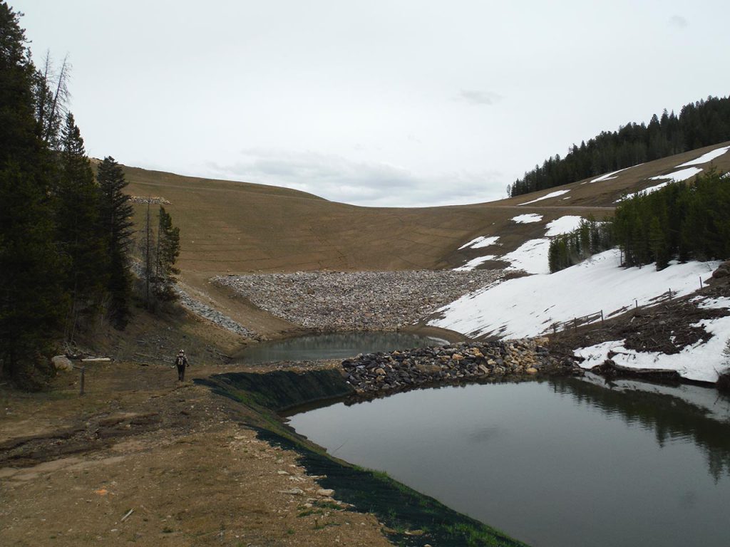
Waste Rock Reclamation, ID
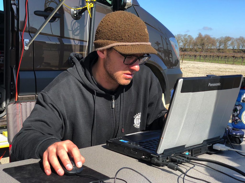
In the field collecting data
Remote Sensing Specialist
Scientists in the field
Surface Water Monitoring, ID
Stream Flow Gauging, ID
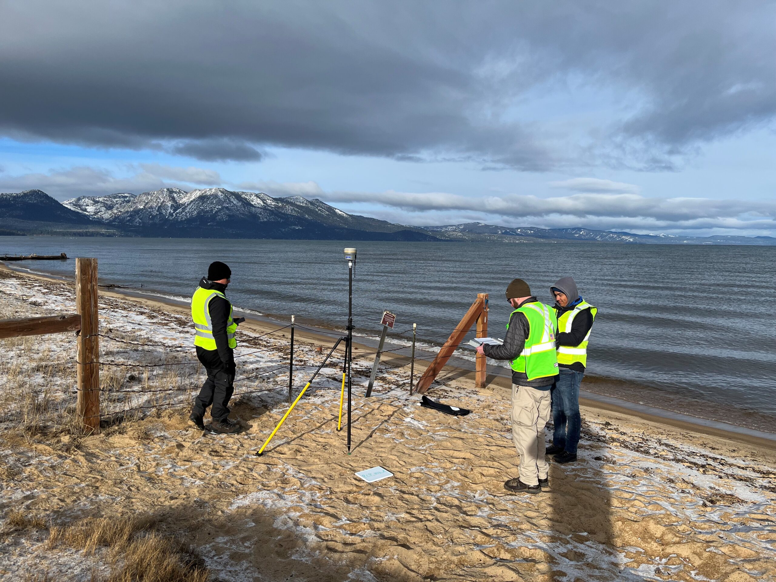
Surveying in the field

Pull Quote – Utor permisso, caudaeque pilos ut equinae paulatim vello unum, demo etiam unum, dum cadat elusus ratione ruentis acervi, qui redit in fastos et virtutem aestimat annis miratu que nihil nisi quod Libitina sacravit.

Led by senior-level scientists and engineers, our team of professionals offer depth of experience and multi-disciplinary expertise in our core practice areas.

Water

Water Resources Engineers

Soil Scientists

Engineering Geologists

Hydrogeologists

Agricultural Engineers

ETa Analysts

Soil Technicians

Agronomists

Crop Scientists

Energy

Civil Engineers

LiDAR Analysts

Remote Sensing Analysts

Certified Arborists

Engineering Geologists

Statisticians

Meteorologists

Geological Engineers
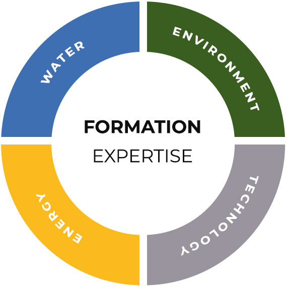
Formation Expertise Infographic
Environment

Environmental Scientists

Environmental Engineers

Geologists

Chemists

Botanists

Risk Assessors

Aquatic Biologists

Ecotoxicologists

Restoration Ecologists

Technology

UAS Pilots

Aeronautical Engineers

LiDAR Analysts

GIS Analysts

Applied Physicists

IT Developers

Database Analysts

Data Scientists